On April 17, 2019, UNESCO announced 11 sites and extensions to the Global Geopark family. In our book, the most important is the addition of Imbabura, Ecuador! The Imbabura Province in the northern Ecuadorian Andes is home to stunning high mountain lakes, jagged peaks, unique Andean habitats, and several vibrant cultures practicing ancient traditions. The UNESCO designation could potentially protect all of these by encouraging the development of more sustainable tourism opportunities.
What is a UNESCO Geopark?
A UNESCO Geopark is a unified geographic area where local communities contribute to the management and conservation of land, resources, and culture. When UNESCO designates a new Geopark, they are acknowledging both past efforts and the future potential of a region. Local communities must apply for the designation before they can be considered.


The press release describes the Imbabura Geopark in brief:
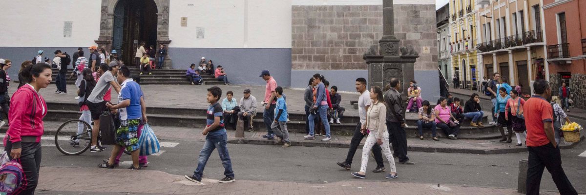
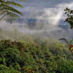
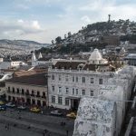
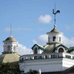
The Imbabura UNESCO Global Geopark is located in the northern inter-Andean region, in the Republic of Ecuador. It is known for its great multitude of lakes and magnificent geological formations, such as the Peguche Waterfalls. The highest summit is of this Geopark, the 4,939 metre high Cotacachi Volcano, is located within the Cotacachi Cayapas Ecological Reserve. The provincial capital, Ibarra, also known as the “White City,” encompasses indigenous villages and colonial towns attracting thousands of visitors every year. This area is currently inhabited by different ethnic groups, among them the Caranqui, the Cayambis, the Otavalos, the Zuletas, the Natabuelas, the Montubio, the Afro and the Awa.
In the announcement made earlier this month, Imbabura was one of three new parks in South America. The other two are the Andagua Volcanoes, Peru and Kütralkura, Chile.


The Imbabura Global Geopark
The Prefectura de Imbabura led the effort to apply for Global Geopark status. In their application, they reiterate the importance of engaging local populations in the project. In fact, they highlight the ancient Andean concept of the minga. This traditional practice brings together residents to complete projects important to the community. Every person is expected to contribute time and effort to these projects, making their success almost guaranteed. On a province-wide project, the use of the minga is a unique approach that could provide an example to other large projects in Ecuador.

What Does the Geopark Protect?
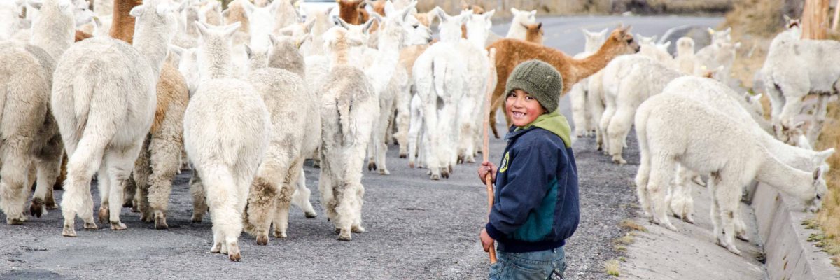
The new Imbabura Global Geopark encompasses the entire Imbabura Province. Diversity abounds! With 6 counties, landscapes and cultures change from place to place. The Geopark naturally protects wild areas like the Cotacachi-Cayapas Ecological Reserve but also includes rural farms on the slopes of Imbabura and Cotacachi. And let’s not forget the cities of Ibarra and Otavalo.
In fact, this region is so diverse, a one-week vacation would serve as a mere introduction to the wide variety of destinations, cultures, and traditions. We have returned many times to enjoy different aspects and still have a long list of places we have yet to see!


A few of the highlights we would like to point out are:
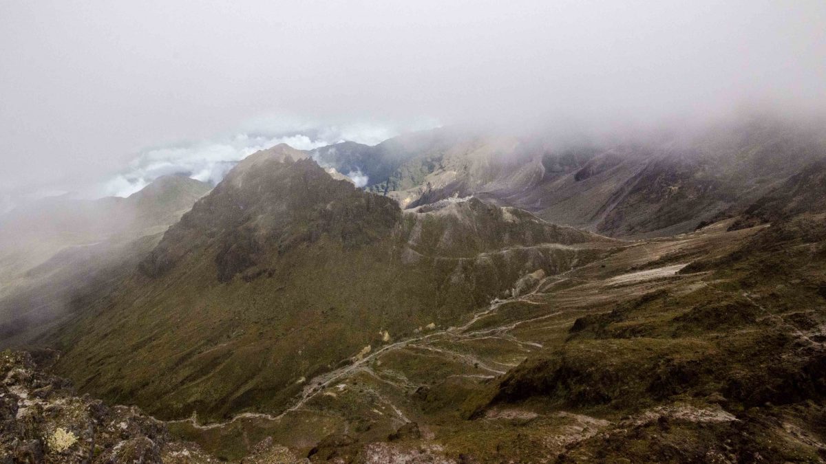
The Cotacachi Volcano
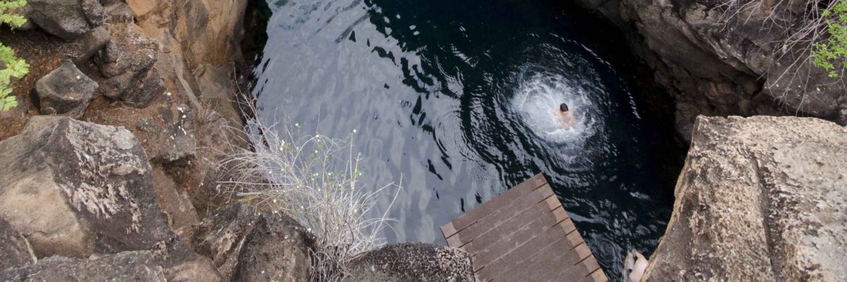
The Cotacachi Volcano is the highest peak in the new Geopark. This sometimes snow-covered peak Nestled into its southern slope, the Laguna Cuicocha attracts both Ecuadorian and international visitors. Some take boat tours around the two islands believed to have once been home to wild guinea pigs. Others hike the crater rim, taking in the gorgeous scenery.
Cotacachi is also part of the larger the Cotacachi – Cayapas Ecological Reserve. While only a portion of the reserve lies in the new Geopark, it adds several unique habitats to the region.

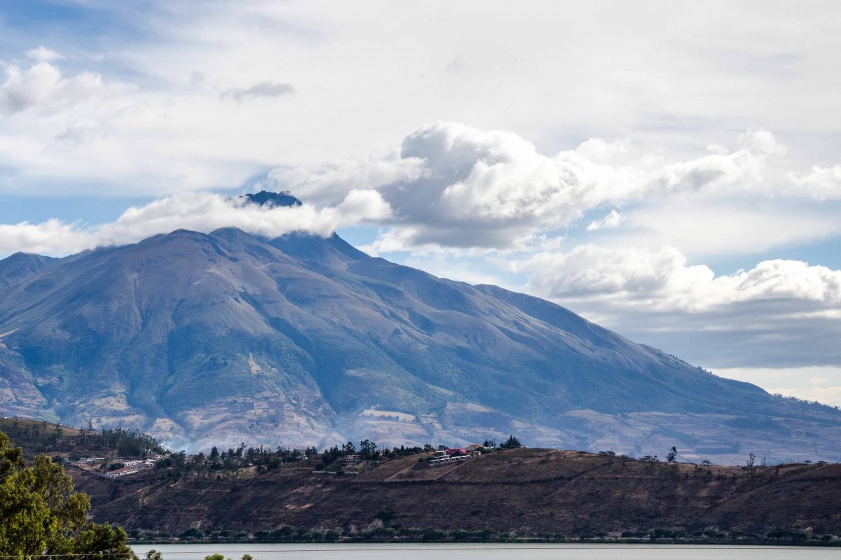
Taita Imbabura
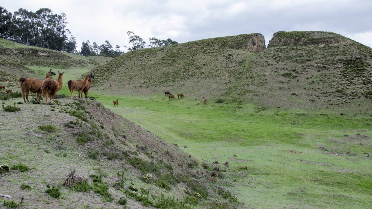
While Cotacachi is the highest volcano, the volcano named Imbabura is the beating heart of the region. Sometimes referred to as Taita Imbabura, native Ecuadorians have farmed its steep slopes since ancient times. Today, the area around this volcano is home to some of the most prolific artisans in all of South America. Woven goods like rugs, ponchos, shawls, and table clothes fly of looms, both hand and machine operated. The sacred Lago San Pablo stands at the foot of the volcano and is a magnet for national tourism. Ecuadorians flock to the many hotels and hostels offering lake-side accommodations, opportunities of cultural exchange, and escape from the big cities of Quito and Ibarra.


Other Mountains and Lakes in the Geopark
With more than 11 centers of volcanic activity, it should come as no surprise that mountains and lakes abound in the Imbabura Geopark. In addition to Cotacachi and Imbabura, there are peaks with strange-sounding names like Fuya Fuya and Yuanayarcu de Piñan, wetlands like Yaguarcocha, and glacier lakes like Mojanda. For a complete listing of geologic features, check out the Imbabura Geopark Project.

Read More About The Imbabura Province
Because Imbabura is fairly close to the international airport in Quito, Ecuador, many places are already popular with international tourists. The new designation will hopefully encourage deeper exploration of the region. We would like to recommend these articles about places and traditions in the new Geopark:
Places:
- Piñan, Ecuador – A Place Forgotten in Time
- Imbabura Province – Otavalo
- Imbabura Province – Ibarra
- The Otavalo Market
- The Otavalo Animal Market
- Laguna Cuicocha

